
File:Natural Ornithological Park of Sochi (Adler). Coastal vegetation.jpg

Size of this preview: 800 × 534 pixels. Other resolutions: 320 × 214 pixels | 640 × 427 pixels | 1,024 × 684 pixels | 1,280 × 854 pixels | 2,560 × 1,709 pixels | 6,016 × 4,016 pixels.
Original file (6,016 × 4,016 pixels, file size: 15.89 MB, MIME type: image/jpeg)
._Coastal_vegetation.jpg)
Summary
| Description |
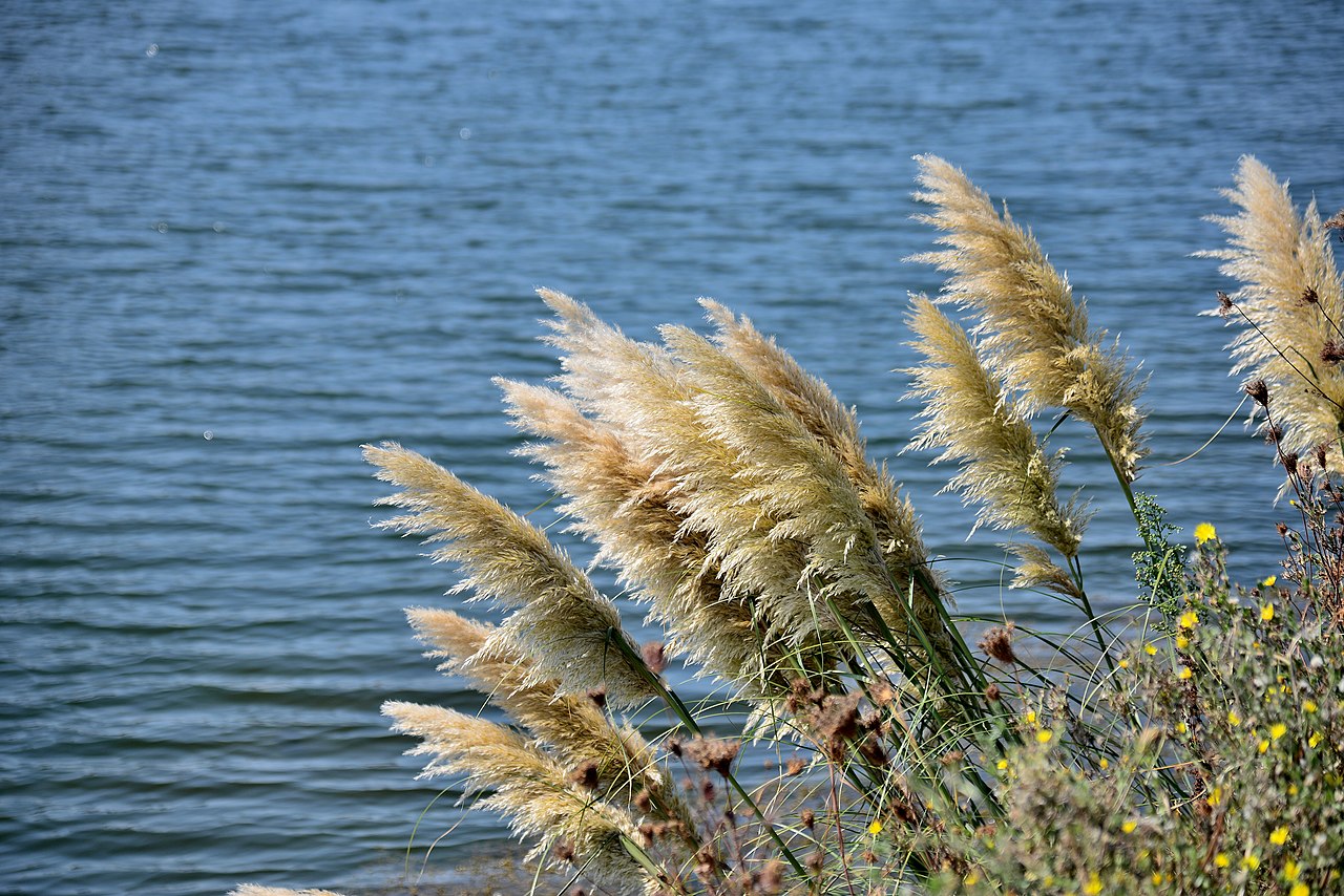
Русский: Природный орнитологический парк в Имеретинской низменности: В границах муниципального образования г.-к. Сочи, Адлерского района, Нижнешиловского сельского поселения, Сочи, Краснодарский край
English: Natural Ornithological Park in the Imereti Lowland: Within the boundaries of the municipality of Sochi, Adler district, Nizhneshilovsky rural settlement, Sochi, Krasnodar Territory
|
|||
| Date | Taken on 15 September 2017, 11:44:45 | |||
| Source | Own work | |||
| Author | Александр Байдуков |
| Camera location | | View this and other nearby images on: OpenStreetMap |
|---|
._Coastal_vegetation.jpg¶ms=043.400111_N_0039.974972_E_globe:Earth_type:camera__&language=en)
Licensing
I, the copyright holder of this work, hereby publish it under the following license:
This file is licensed under the Creative Commons Attribution-Share Alike 4.0 International license.
- You are free:
- to share – to copy, distribute and transmit the work
- to remix – to adapt the work
- Under the following conditions:
- attribution – You must give appropriate credit, provide a link to the license, and indicate if changes were made. You may do so in any reasonable manner, but not in any way that suggests the licensor endorses you or your use.
- share alike – If you remix, transform, or build upon the material, you must distribute your contributions under the same or compatible license as the original.
This image was uploaded as part of Wiki Loves Earth 2021.
|
 |
File history
Click on a date/time to view the file as it appeared at that time.
| Date/Time | Thumbnail | Dimensions | User | Comment | |
|---|---|---|---|---|---|
| current | 07:50, 15 June 2021 | | 6,016 × 4,016 (15.89 MB) | wikimediacommons>Александр Байдуков | Uploaded own work with UploadWizard |
File usage
The following page uses this file:
._Coastal_vegetation.jpg)